 singaporecity360°
 How to get to Clarke Quay by MRT
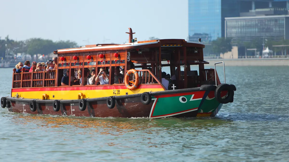
Riverside dining and nightlife quay along the Singapore River.
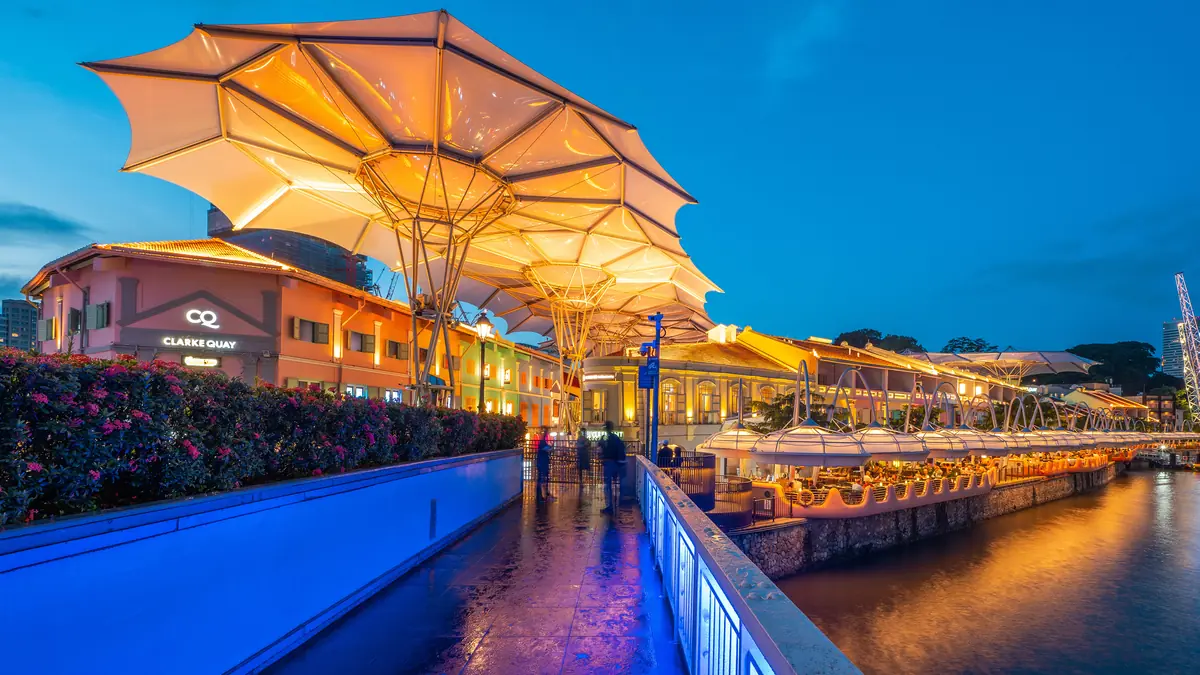
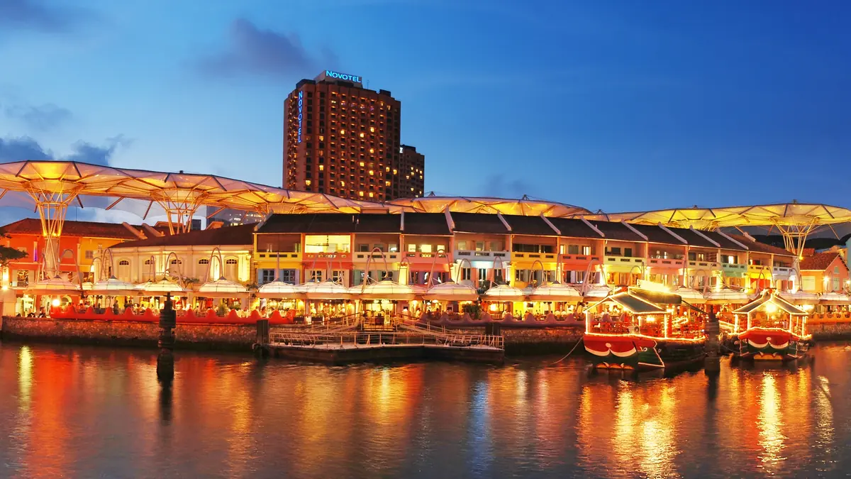
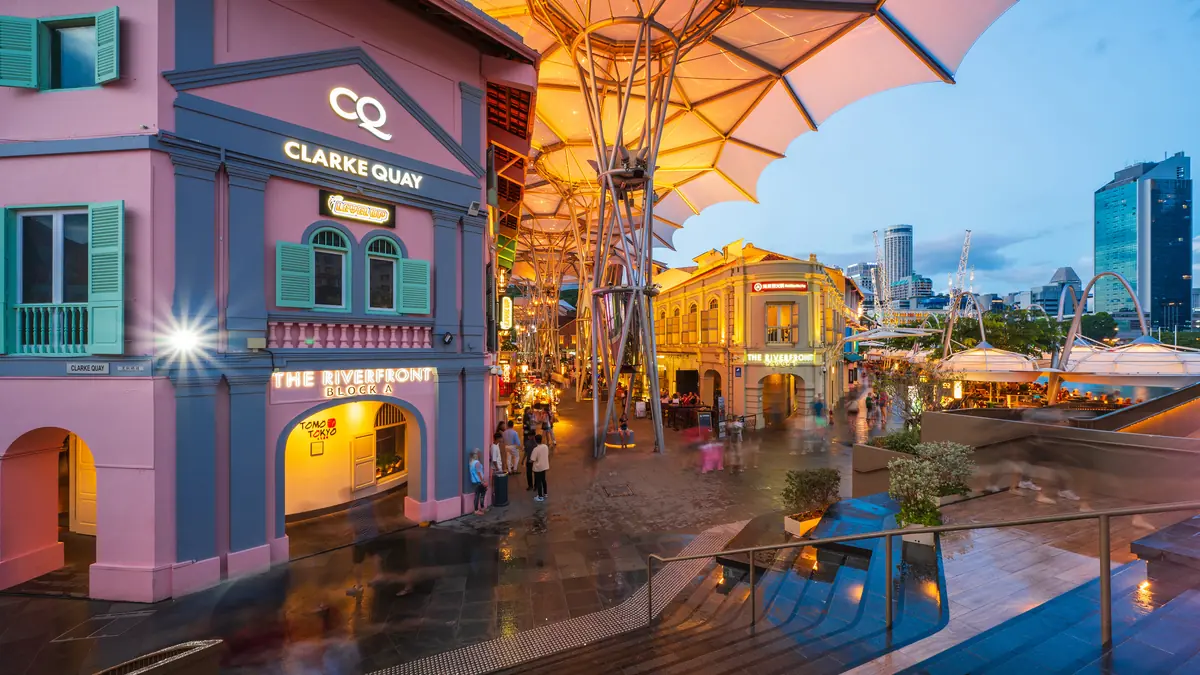
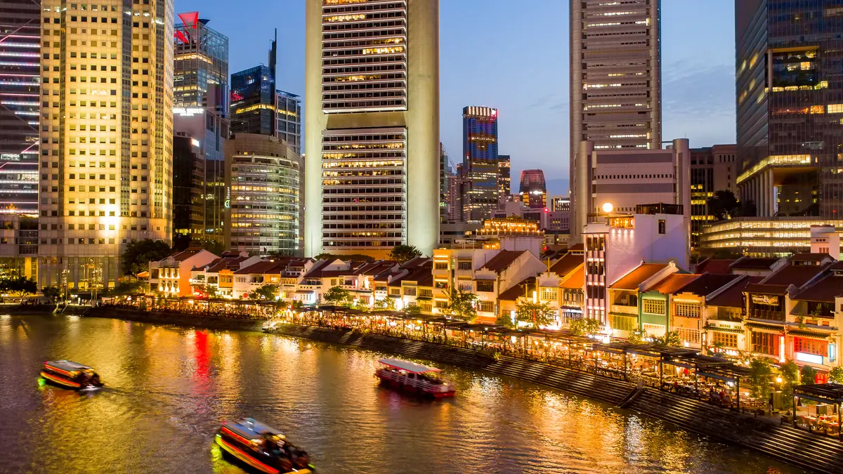
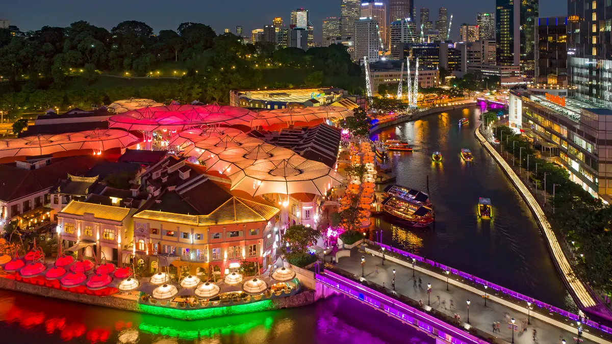
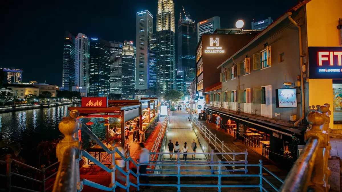
Closest is Clarke Quay (NE5) on the North East Line. Leave by Exit B — about a 8-minute walk (0.6 km) to Clarke Quay.
Getting there — the transport hub
Every MRT station within walking range, all lines, ranked by real walking time. Buses are in the next section.
By bus
Bus stops within ~500 m of Clarke Quay and the services that stop there (LTA DataMall). Live arrival times land in the app layer next.
By taxi
Official taxi stands near Clarke Quay, nearest first (LTA DataMall). ♿ = barrier-free / wheelchair-accessible.
Flag a cab at any of these, or book on Grab/Gojek — a metered ride from the city centre is usually S$8–16. Stands are official pick-up points; hotels and malls also have their own queues at the main entrance.
The route, mapped
The orange line is the actual walking path from Clarke Quay Exit B. Violet = MRT stations · dark = Clarke Quay. Drag, zoom, tap a marker.
Fastest exit at Clarke Quay
Real walking distance and time from each Clarke Quay exit, routed on the pedestrian network.
| Exit | Walking distance | Time | Verdict |
|---|---|---|---|
| Exit B | 627 m | ~8 min | Fastestuse this |
| Exit F | 676 m | ~8 min | +49 m |
| Exit A | 773 m | ~9 min | +1 min |
Cost & timing
What actually costs money and how long to spend — the free-and-easy budget view.
Strolling the riverfront promenade, bridges and people-watching; no entry fee to the precinct.
Make it a day — what's nearby
Free-and-easy travellers chain stops. These are walkable from Clarke Quay — the Trip Planner strings them into your day.
- Old Hill Street Police Station — 7-min walk
- Fort Canning Park — 8-min walk
- Boat Quay — 8-min walk
- Chinatown — 12-min walk
Local note
The bit the data can't tell you — the reason this page beats Google Maps.
Since the 2024 revamp (CQ @ Clarke Quay) the precinct works day and night, but riverside touts are persistent and prices carry a location markup — grab happy-hour deals (usually before 8pm), or eat cheaper a few minutes away at Boat Quay before the late-night, cover-charge clubs kick in.
Status: verified against official + travel sources, 2026-07-24
Sources: capitaland.com · timeout.com
Where these numbers come from
Coordinates & stations: OneMap search API (data.gov.sg). Walking routes: OneMap routing API (Singapore Land Authority pedestrian network), fetched 2026-07-24.
Verified: 2026-07-24 · Review due: 2027-01-20 · Report an update →